|
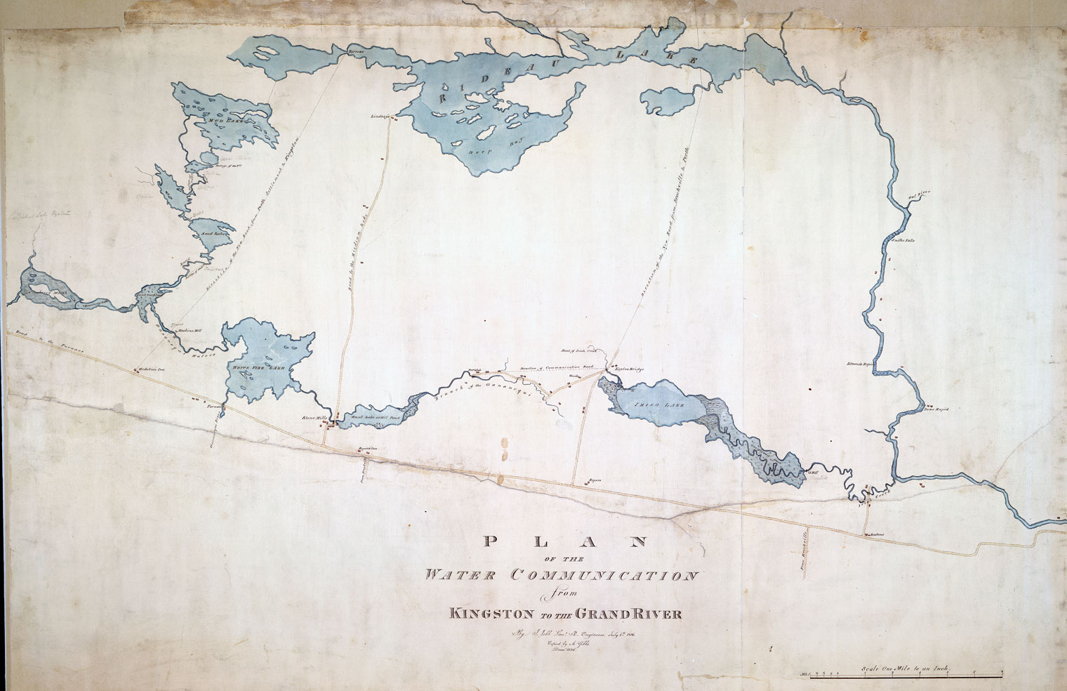
1816 MAP of the CENTRAL RIDEAU ROUTE
“Plan of the Water Communication from Kingston to the Grand River” by Lt. J. Jebb, July 8, 1816, National Archives of Canada, NMC 21941 2/3.
| A beautifully drawn map with lots of detail. The scaling is off and there appears to be several errors with the roads. The map is a result of a survey of potential navigation routes between (now) Ottawa and Kingston so the mapping of roads was of secondary importance (and some, such as the road to Lindsay's, appears to more representational than accurate and some roads are missing entirely |
|